

Olympic Peninsula guide
Hurricane Ridge: trails, road tips & where to stay
A mile-high road climbs straight out of Port Angeles to wildflower meadows and a full view of the Olympic Mountains. Stay in Port Angeles and you're 40 minutes from the top.
Closest town
Port Angeles
From Port Angeles
~40 min
Elevation
~5,200 ft
Entry
Park fee
What to see at Hurricane Ridge
Meadow loops
Short paved trails
Easy walks from the parking area with views of Mount Olympus on clear days.
Hurricane Hill
~3.2 mi round trip
Paved climb to a summit view over the Strait to Canada.
Winter snow play
Seasonal
Snowshoeing and a small ski area when the road is open — chains required.
Drive times to Hurricane Ridge
| Starting from | Approx. drive |
|---|---|
| Sequim | 1 hr 5 min |
| Port Angeles | 40 min |
| Forks | 1 hr 40 min |
Park entry fee · chains required in winter · Best July–September; road closed some winter days
Local tips
- Check the park's road status and webcam before driving up — conditions change fast.
- Weather at the top is often clear when Port Angeles is foggy.
- Look for deer and marmots in the meadows.
Where to stay near Hurricane Ridge
Our Port Angeles homes are 40 min away. Book directly through Airbnb or Vrbo.
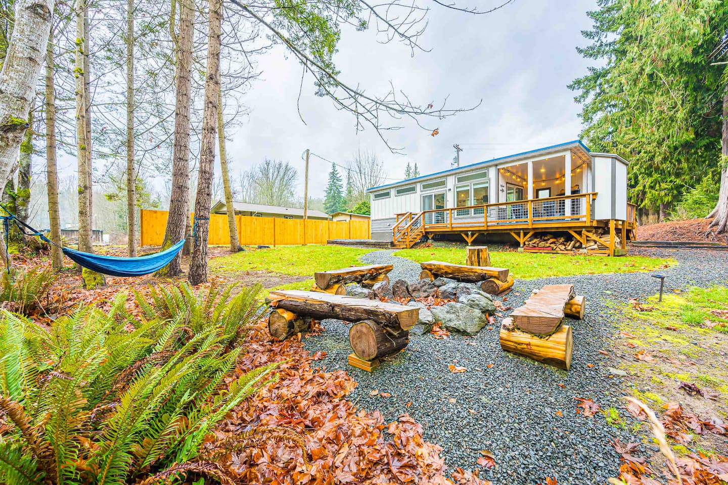
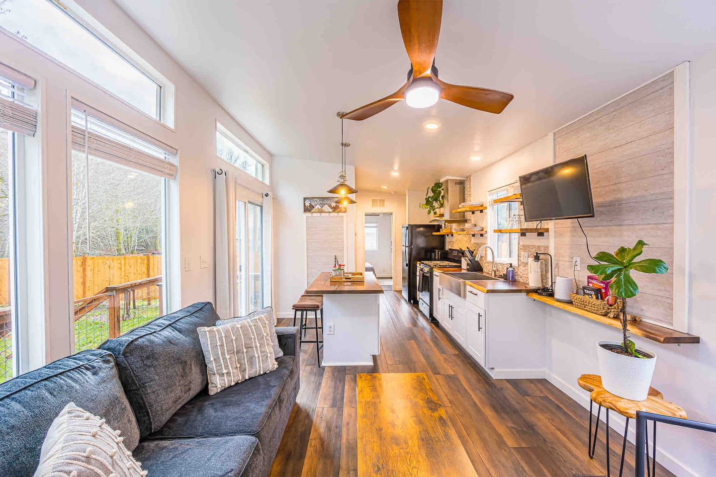
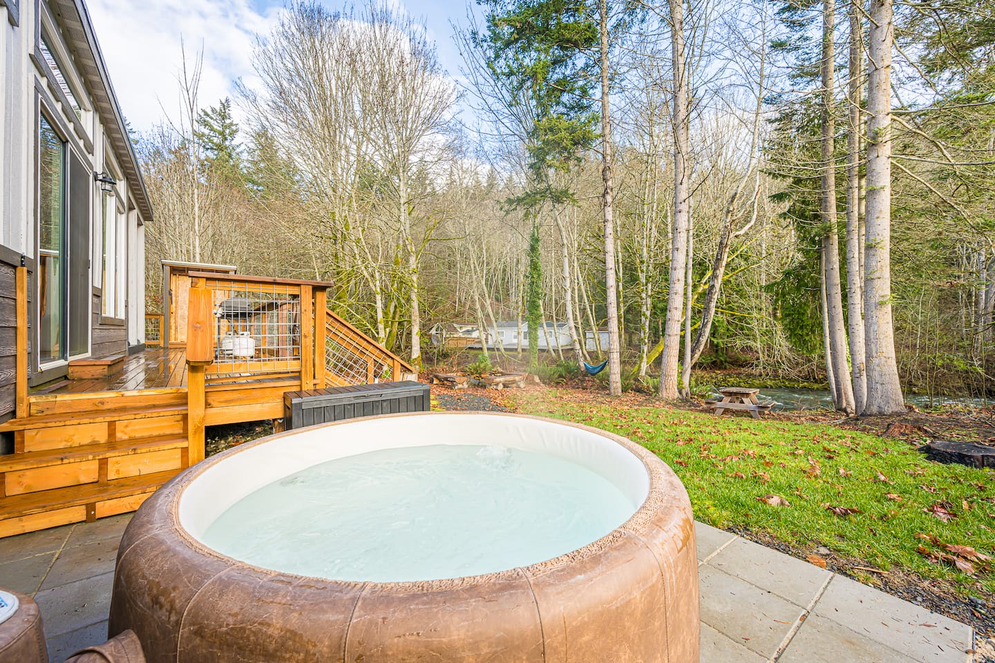
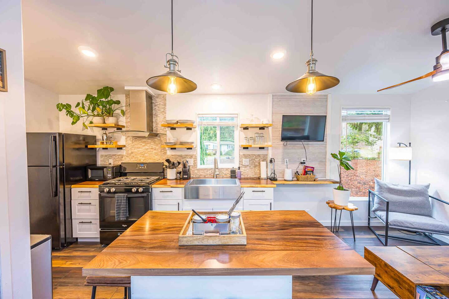
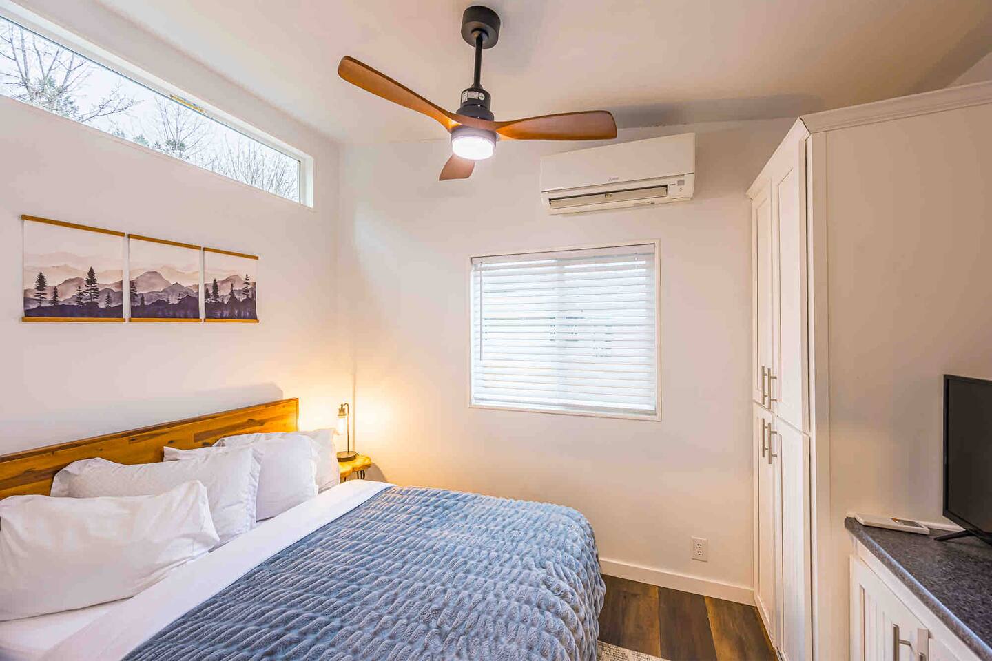
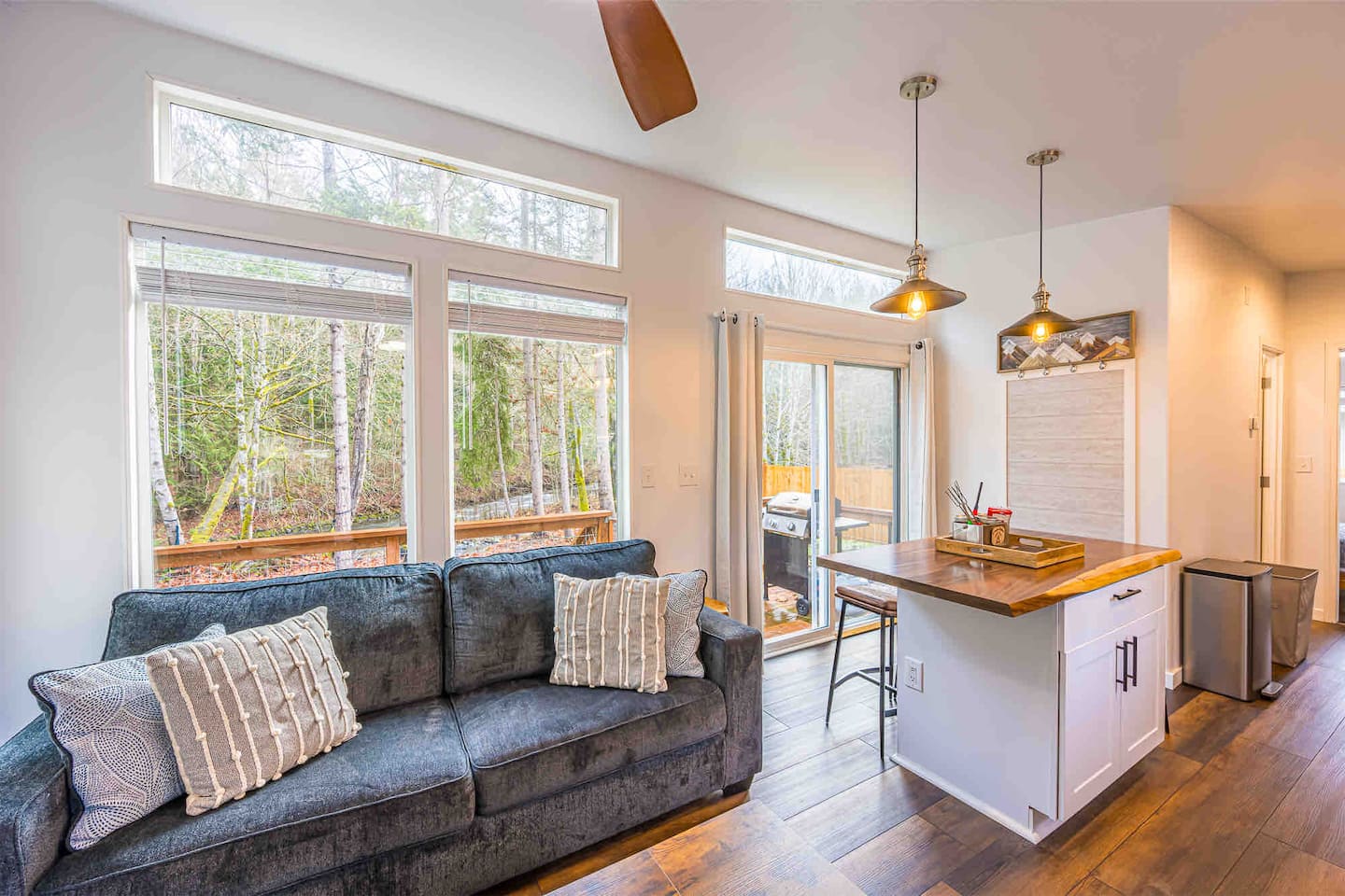
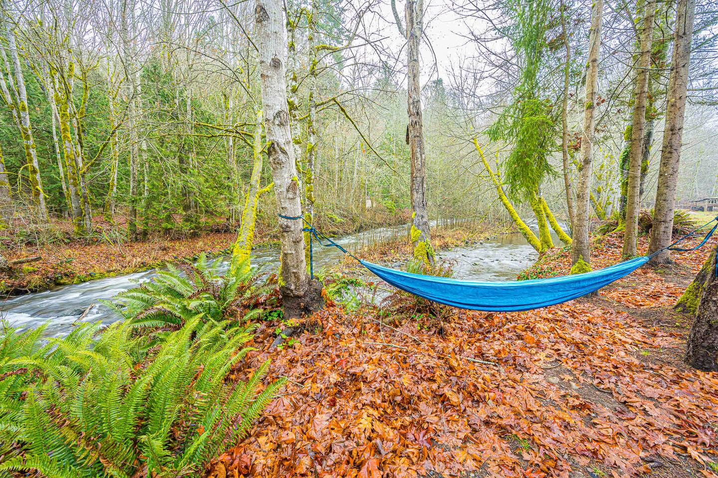
Rivers Edge:river side tiny home
Port Angeles, WA · 2 beds
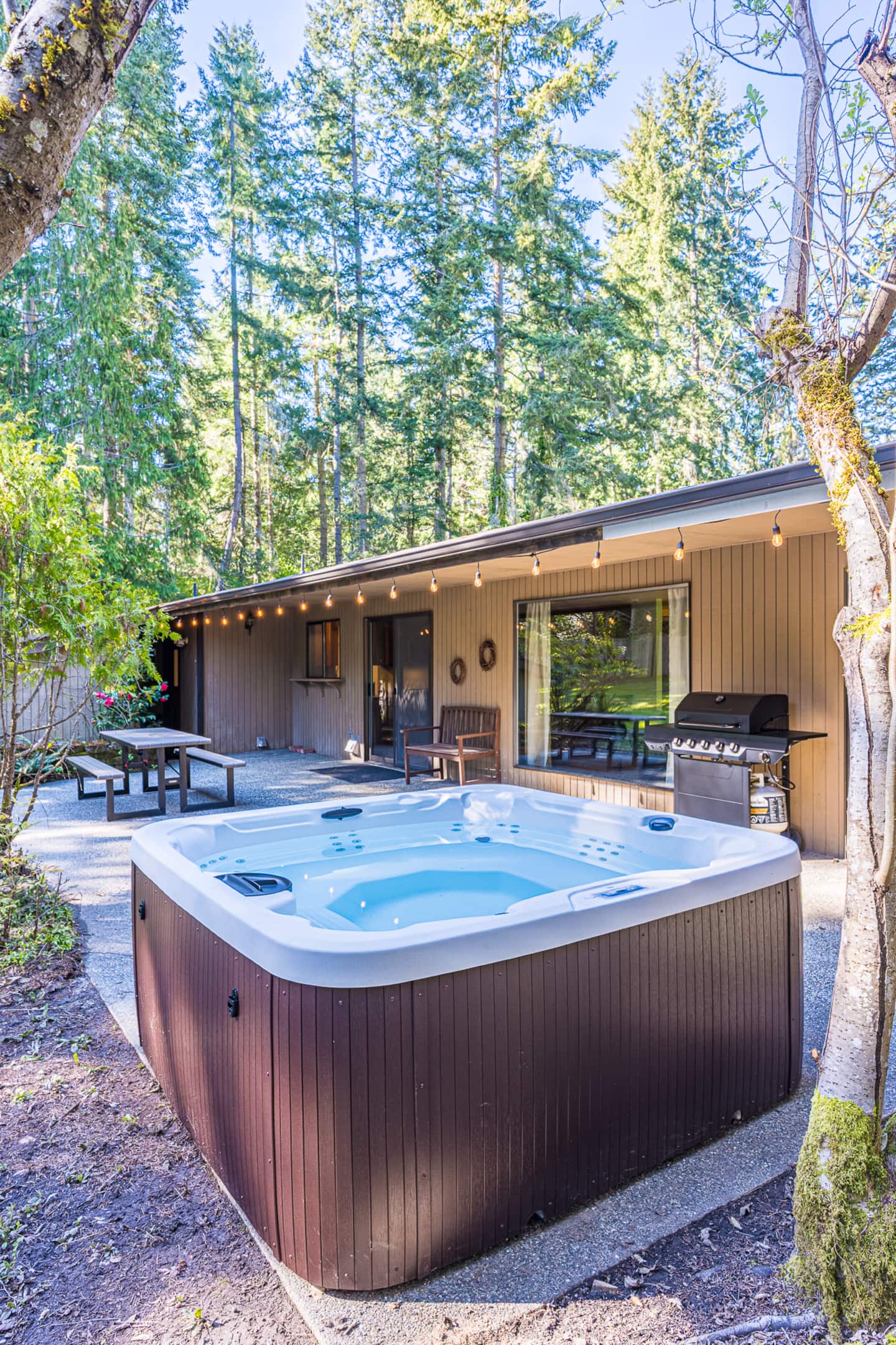
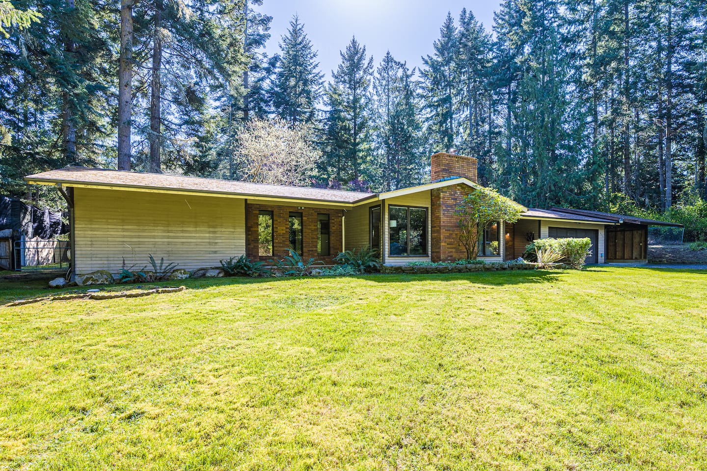
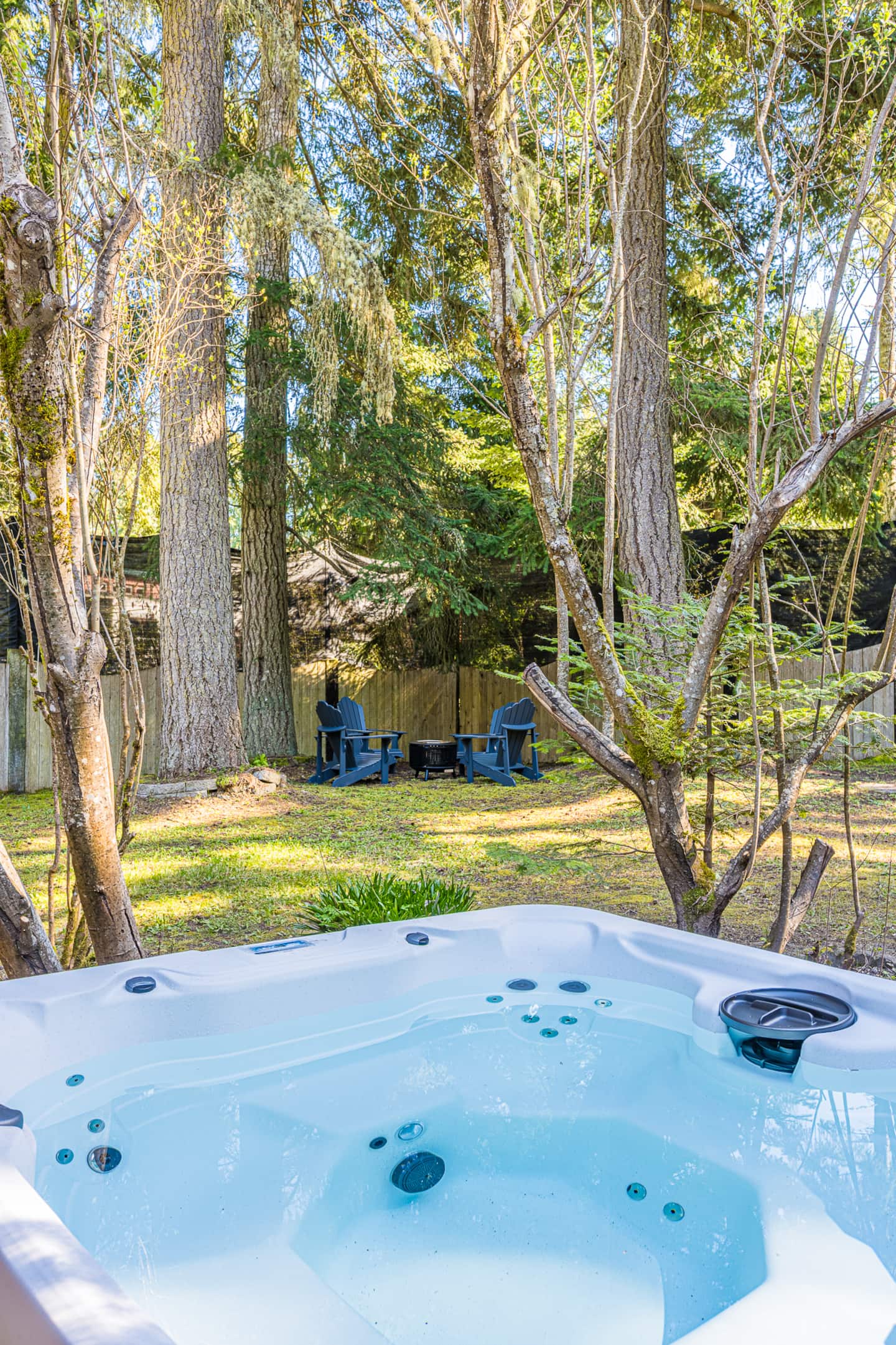
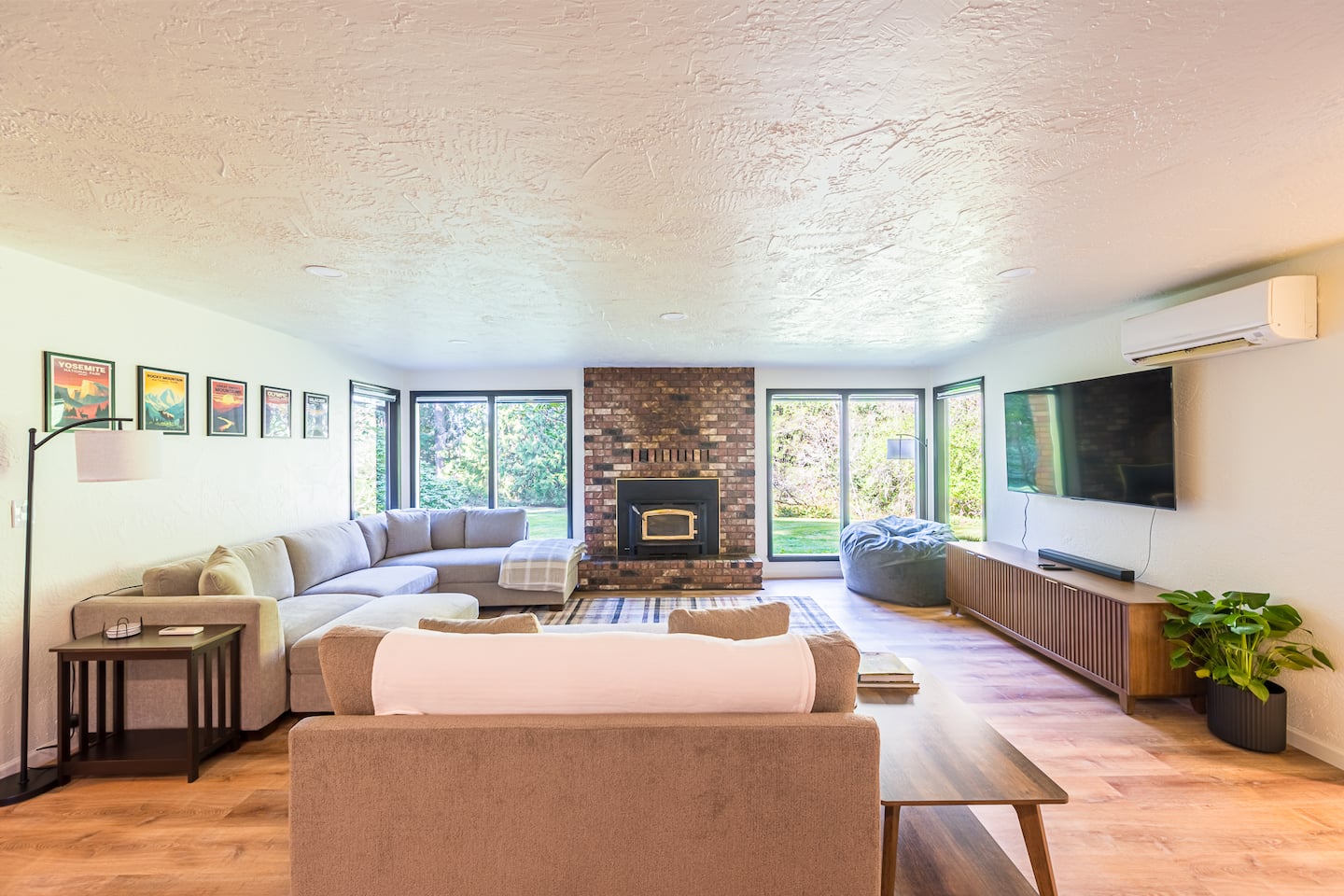
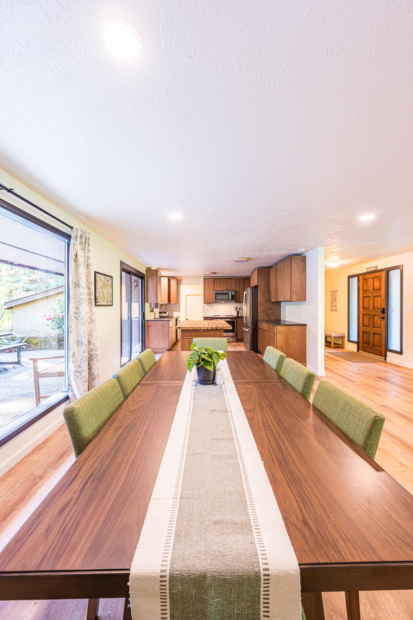
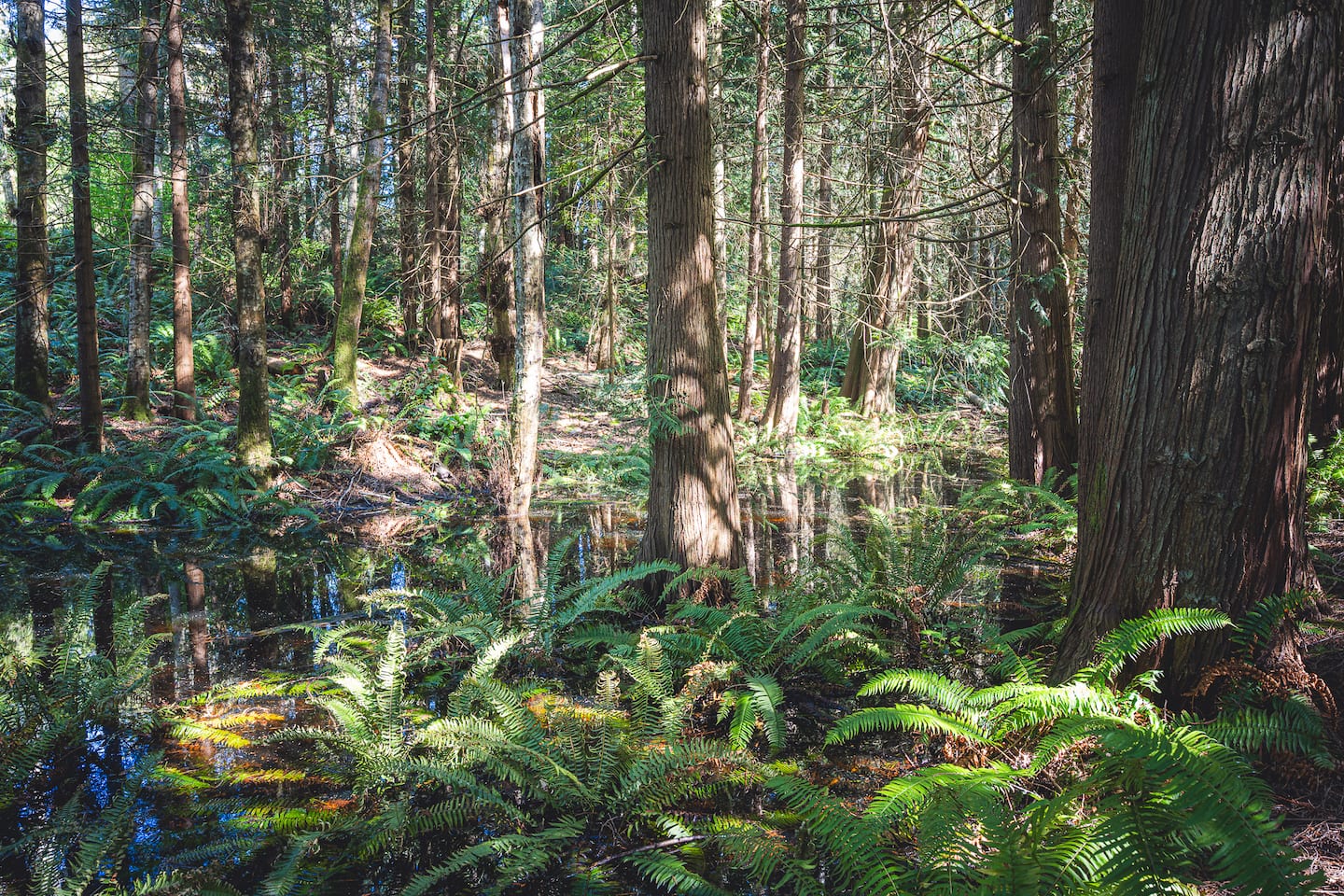
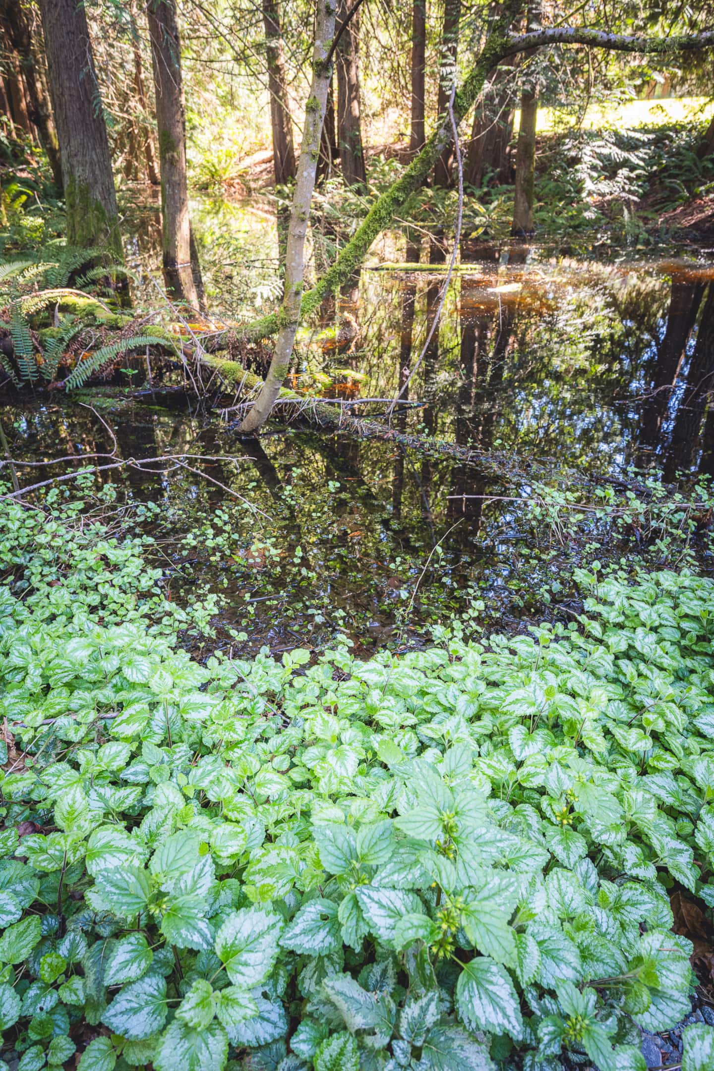
Elwha Base Camp Near Olympic National Park!
Port Angeles, WA · 5 beds
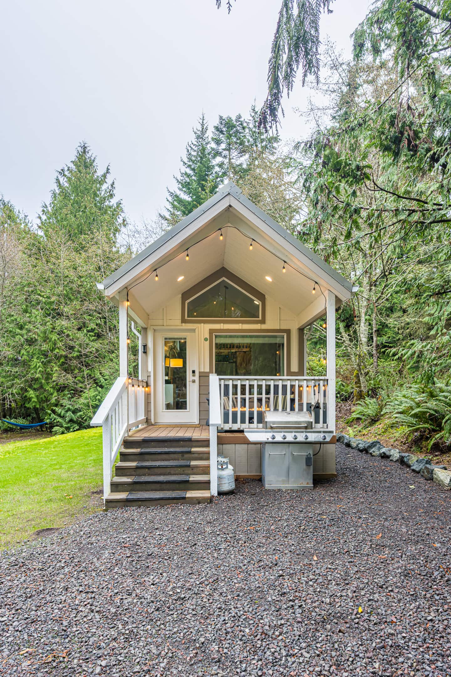
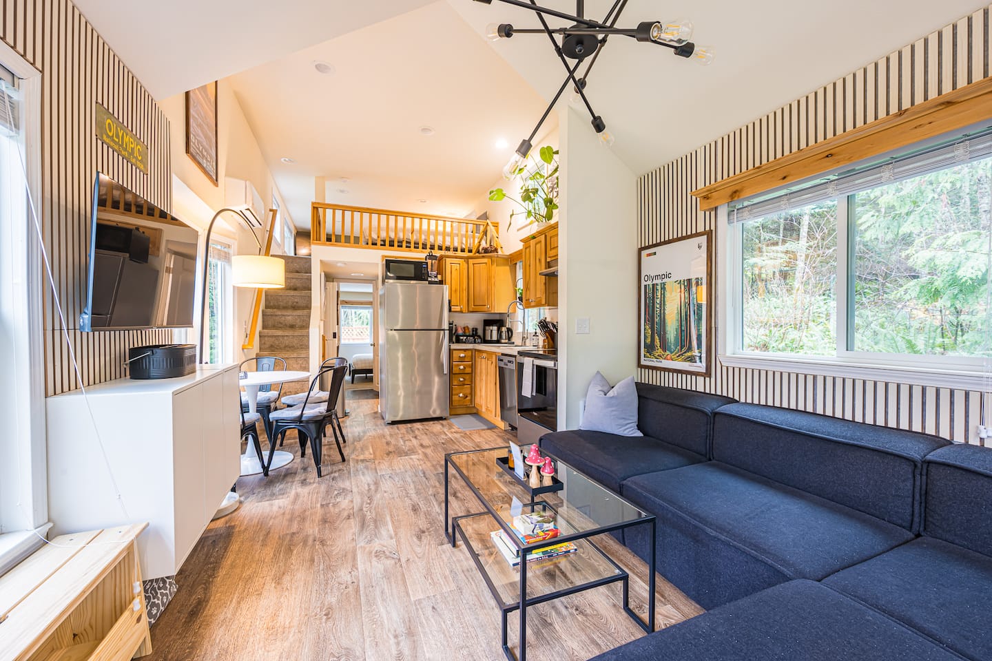
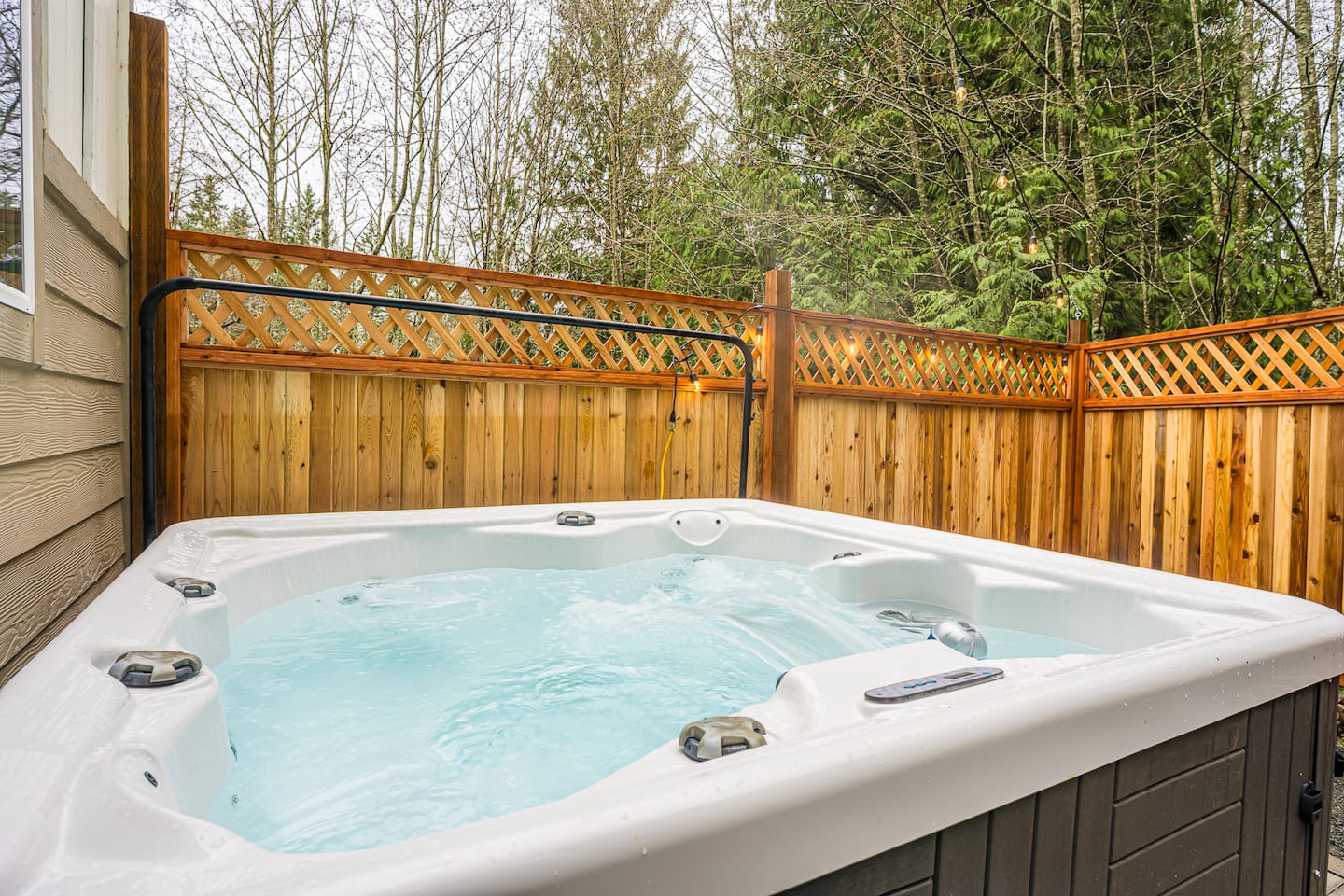
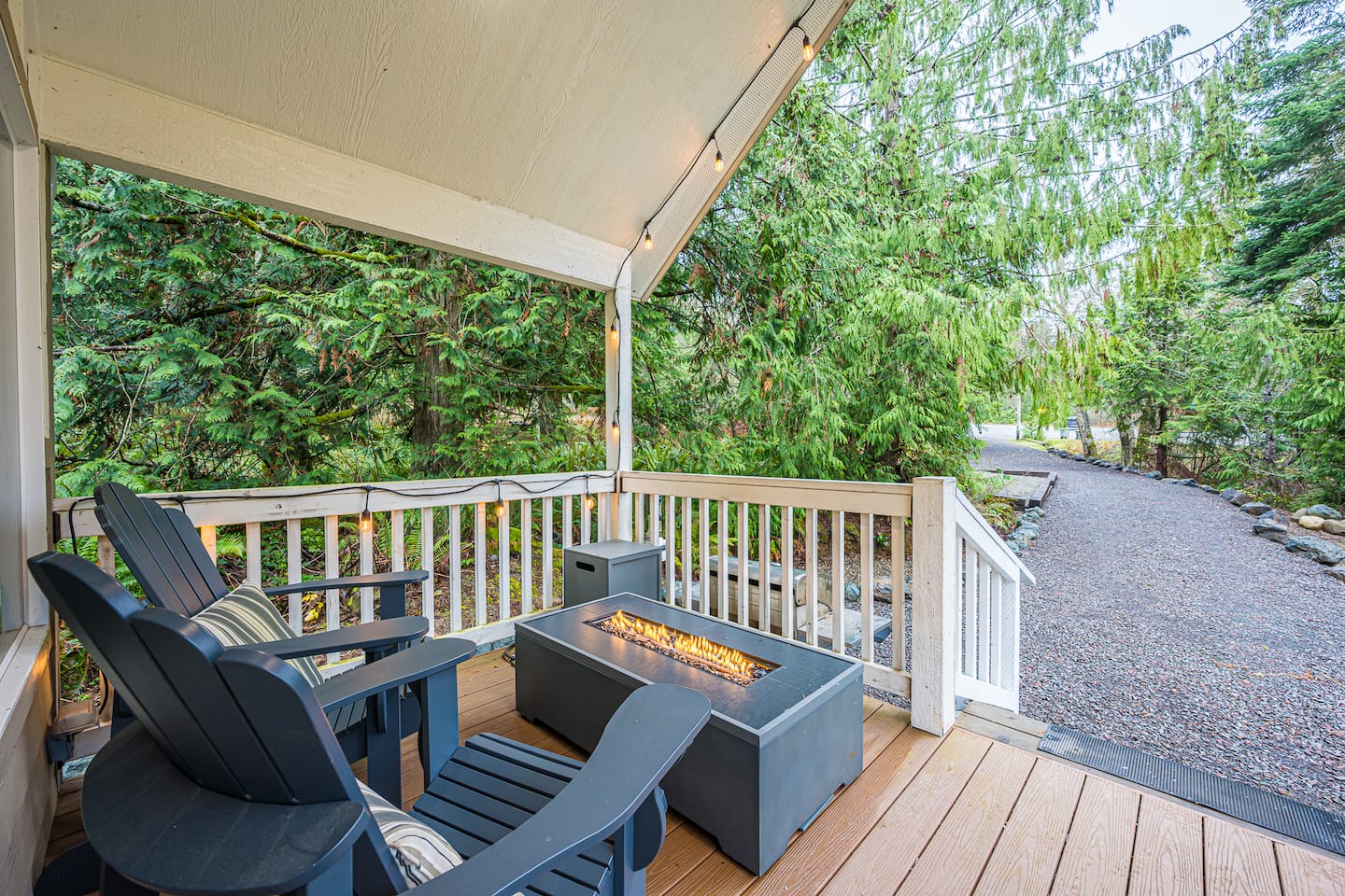
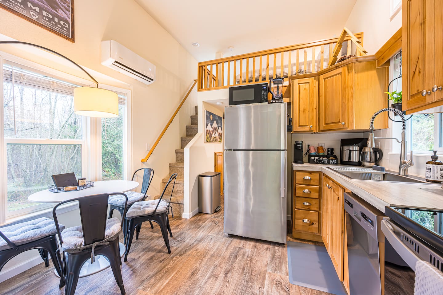
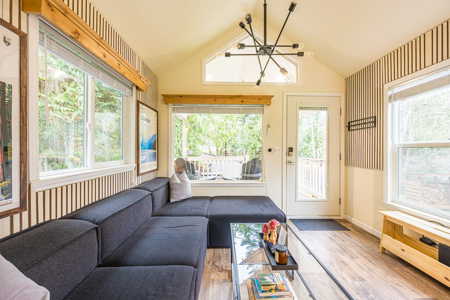
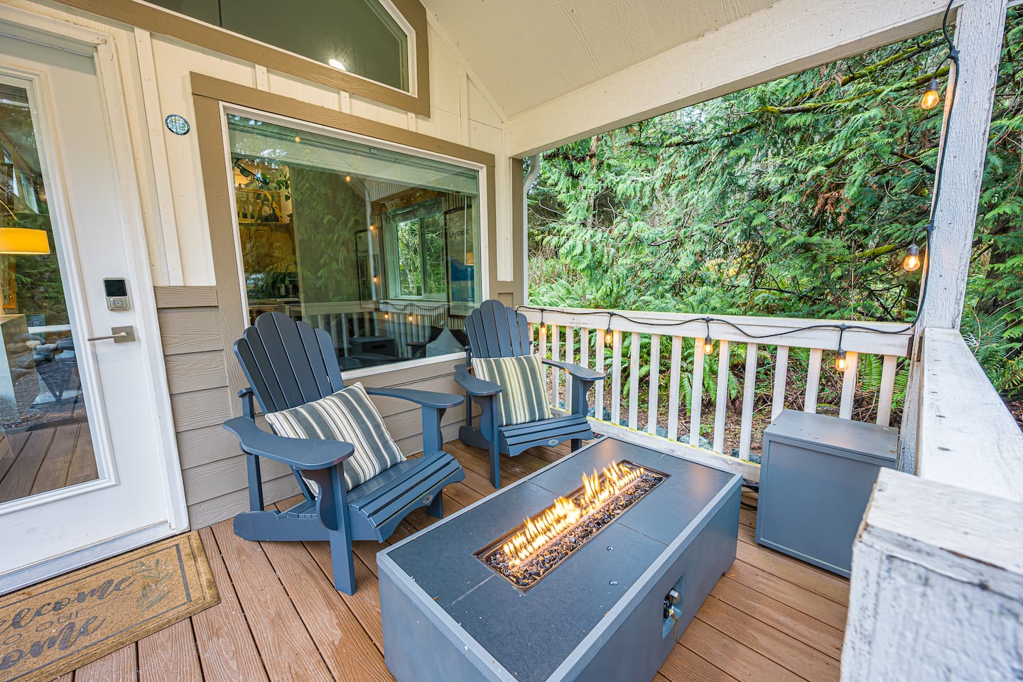
Nestled Private Tiny Home Situated Near BEST HIKES
Port Angeles, WA · 3 beds
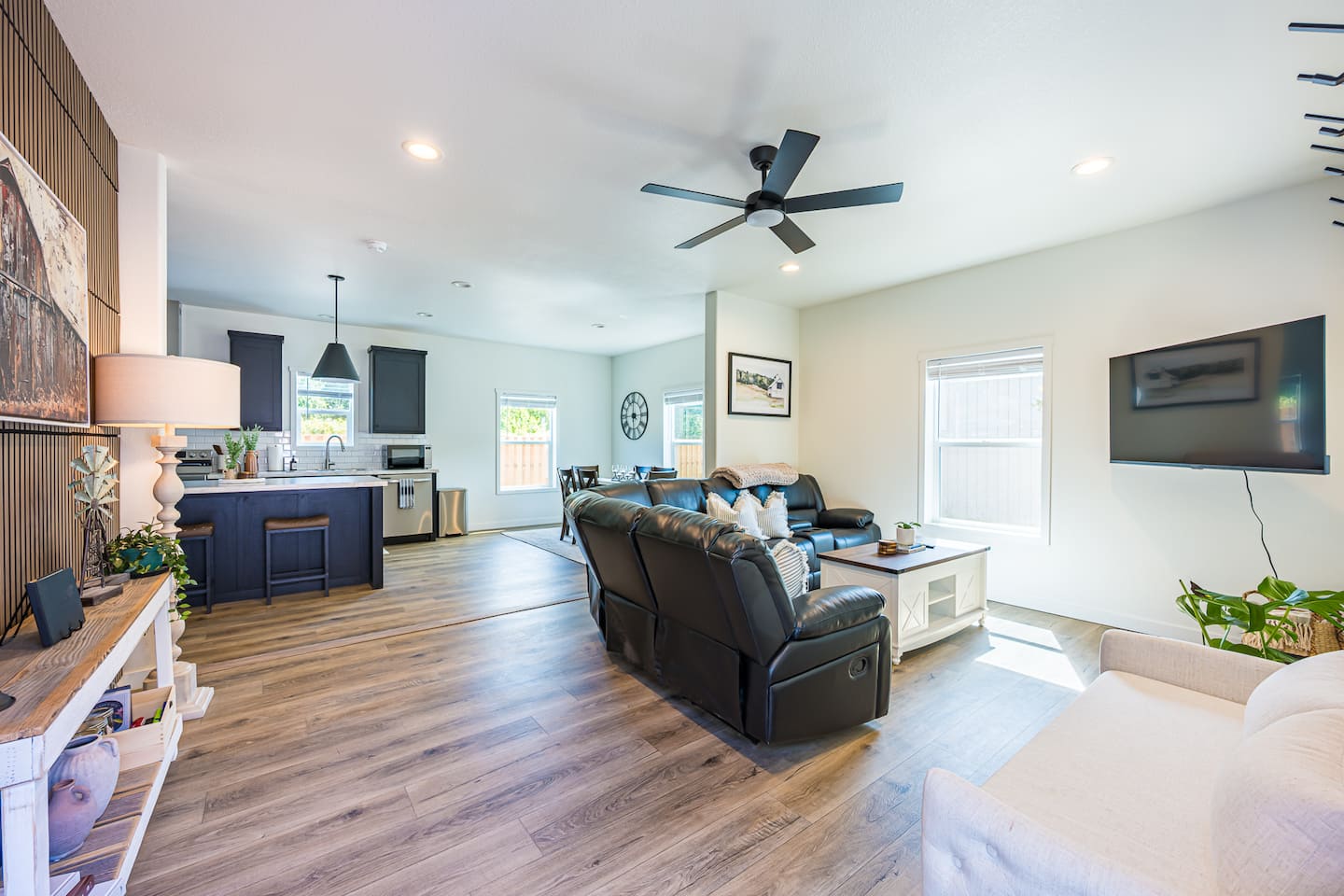
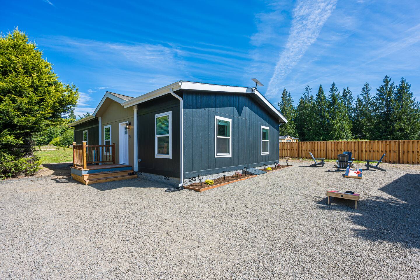
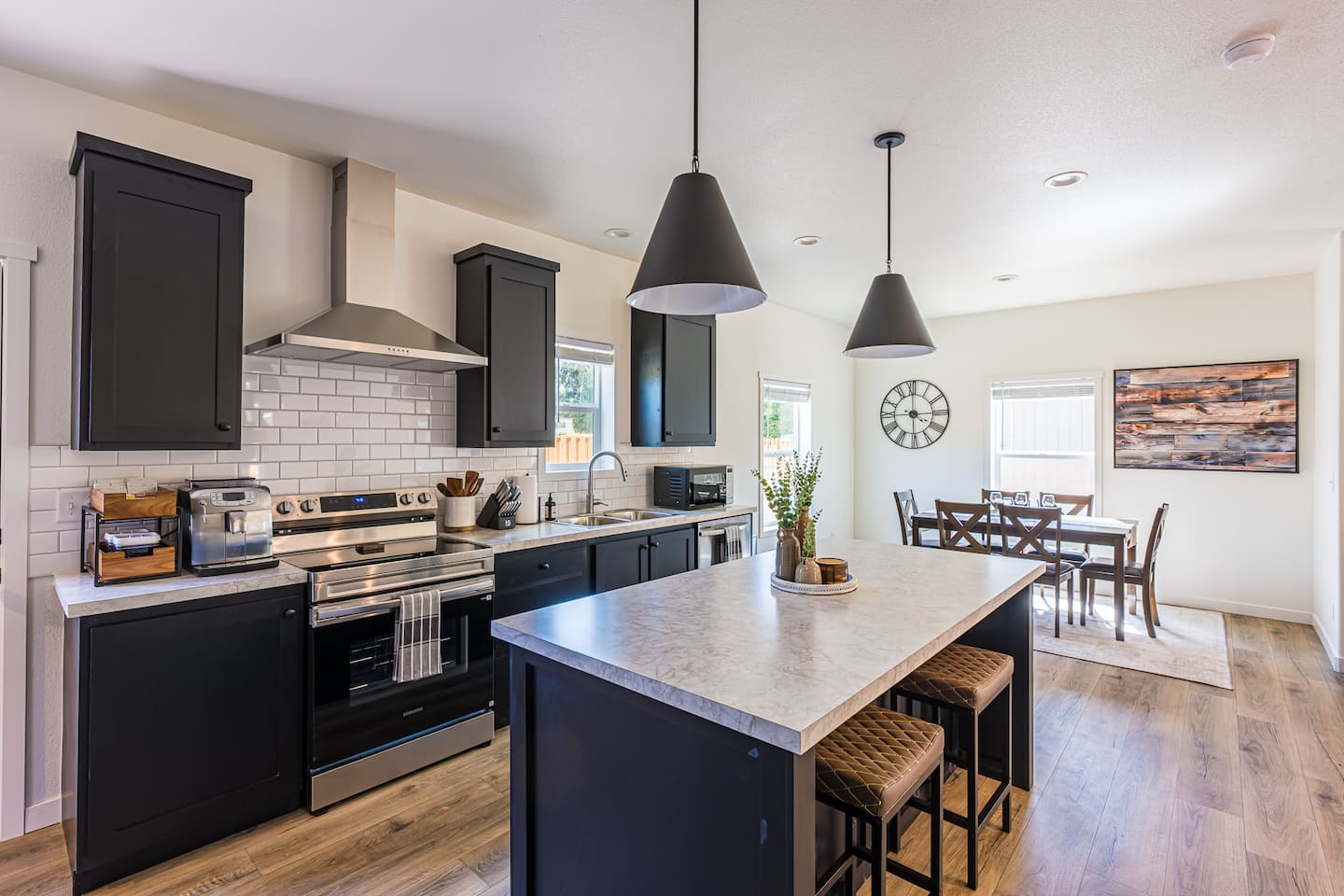
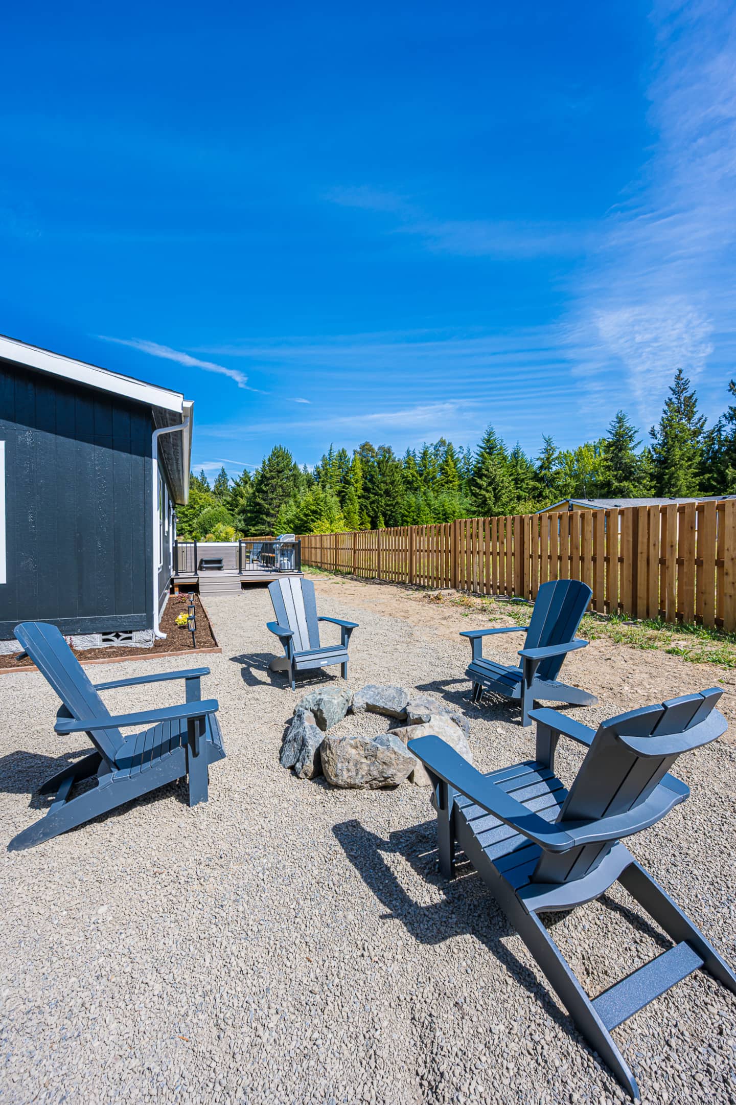
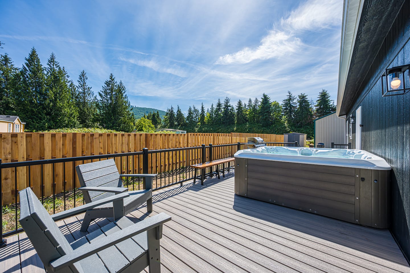

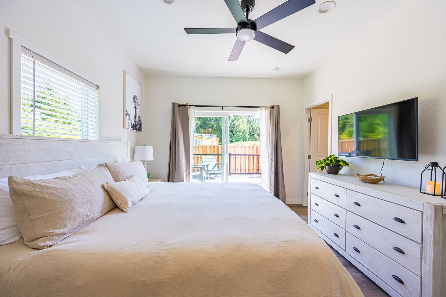
DryCreek Retreat: Olympic National Park
Port Angeles, WA · 3 beds
Hurricane Ridge FAQ
Is Hurricane Ridge road open?
Summer access is usually daily; winter access is limited and weather-dependent. Check the National Park Service road status before you go.
Where is the best place to stay near Hurricane Ridge?
Port Angeles, about 40 minutes from the top. It also puts you near Lake Crescent and the Victoria ferry.
When is the best time to visit Hurricane Ridge?
July through September for wildflowers and open trails. Winter offers snow play when the road is open.